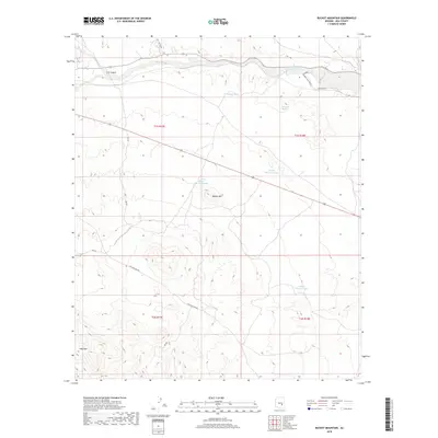
2018 Map of Bucket Mountain
USGS Topo · Published 2018About this map
Gilson Wash carves through this Gila County landscape, marking the northern drainage system between the high ridges of the San Carlos area. The terrain is defined by prominent elevations including Bucket Mtn and Hog Mtn, while the seasonal water availability is indicated by a network of cattle or utility tanks such as Narrows Tank and Chalk Tank. Infrastructure in this 2018 survey remains sparse, consisting primarily of specialized access routes like Coolidge Dam Rd, Tree Farm Rd, and Skill Center Rd. The presence of Dripping Springs and C K Canyon highlights the area's natural hydrology, while the various irrigation and stock tanks like Copper Mountain Tank suggest the continued reliance on managed water sources in this high-desert environment.
Find a feature on this map
21 named features on this map. Tap any name to fly to it.
Don’t see what you’re looking for? This feature index may not catch every label — zoom into the map to look around manually.
Map Details
Editions of this 2018 Bucket Mountain Map
This is the sole edition of this map. No revisions or reprints were ever made.
Other maps of this area
1915 · Christmas
USGS Topo · 1:62,500
1917 · Christmas
USGS Topo · 1:62,500
1954 · Mesa
USGS Topo · 1:250,000
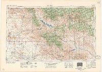
1957 · Mesa
USGS Topo · 1:250,000
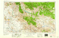
1958 · Mesa
USGS Topo · 1:250,000
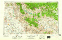
1960 · Mesa
USGS Topo · 1:250,000
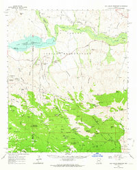
1962 · San Carlos Reservoir
USGS Topo · 1:62,500
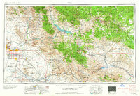
1964 · Mesa
USGS Topo · 1:250,000
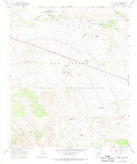
1965 · Bucket Mtn
USGS Topo · 1:24,000
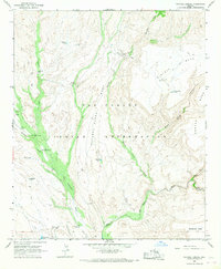
1966 · Natural Corral
USGS Topo · 1:24,000