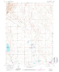
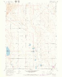
1960 Map of Buckeye
USGS Topo · Published 1986About this map
The small settlement of Buckeye serves as a focal point for this landscape of high plains irrigation and early petroleum exploration. Located in northern Larimer County, the terrain is defined by an intricate network of water management, featuring the North Poudre Canal and artificial reservoirs such as North Poudre Res No 15 and Caverly Res. The presence of a Buckeye Lateral and Park Creek Lateral reflects the area's agricultural dependence on diverted water from the mountain ranges to the west.
Find a feature on this map
22 named features on this map. Tap any name to fly to it.
Don’t see what you’re looking for? This feature index may not catch every label — zoom into the map to look around manually.
Map Details
Editions of this 1960 Buckeye Map
5 editions found
Other maps of this area

1906 · Fort Collins
USGS Topo · 1:62,500

1907 · Livermore
USGS Topo · 1:125,000

1908 · Fort Collins
USGS Topo · 1:62,500

1908 · Eaton
USGS Topo · 1:125,000

1909 · Livermore
USGS Topo · 1:125,000

1910 · Eaton
USGS Topo · 1:125,000

1954 · Greeley
USGS Topo · 1:250,000

1957 · Greeley
USGS Topo · 1:250,000

1958 · Greeley
USGS Topo · 1:250,000

1960 · Livermore
USGS Topo · 1:24,000