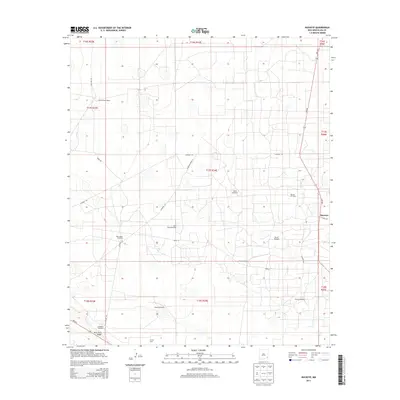
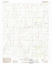
2013 Map of Buckeye
USGS Topo · Published 2013About this map
Buckeye sits at the intersection of NM-238 and Co Road 50 in the arid landscape of Lea County. This region is defined by a reliance on groundwater and petroleum extraction, evidenced by the numerous named water sources like North Windmill, Bryant Windmill, and Hackberry Windmill scattered across the township grids. To the west, the striking elevation change of Mescalero Ridge breaks the horizon, while the industrial footprint of the Vacuum Oil Field and E K Oil Field marks the importance of the Permian Basin's resources to the local economy.
Find a feature on this map
32 named features on this map. Tap any name to fly to it.
Don’t see what you’re looking for? This feature index may not catch every label — zoom into the map to look around manually.
Map Details
Editions of this 2013 Buckeye Map
This is the sole edition of this map. No revisions or reprints were ever made.
Other maps of this area

1954 · Hobbs
USGS Topo · 1:250,000

1958 · Hobbs
USGS Topo · 1:250,000
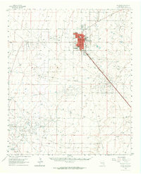
1962 · Lovington
USGS Topo · 1:62,500
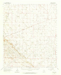
1962 · Buckeye
USGS Topo · 1:62,500
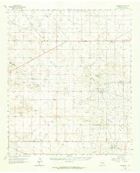
1963 · Monument
USGS Topo · 1:62,500
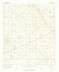
1963 · Laguna Gatuna
USGS Topo · 1:62,500
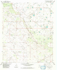
1984 · Ironhouse Well
USGS Topo · 1:24,000
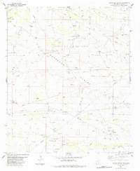
1984 · Laguna Gatuna NW
USGS Topo · 1:24,000
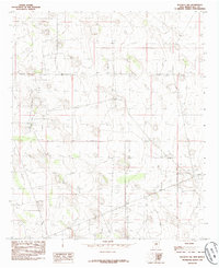
1985 · Buckeye NW
USGS Topo · 1:24,000
1985 · Lovington NW
USGS Topo · 1:24,000