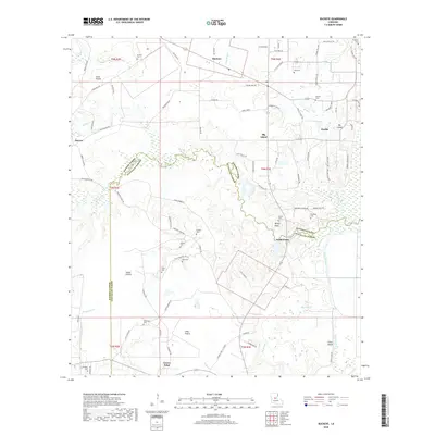
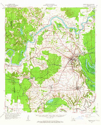
2018 Map of Buckeye
USGS Topo · Published 2018About this map
Buckeye and the surrounding lowland prairies define this area of central Louisiana where the boundary between Rapides Parish and Avoyelles Parish follows the meandering course of Big Creek. The landscape is a network of small settlements and isolated farmsteads connected by rural routes such as Philadelphia Rd and Horsepen Creek Rd. Geologically, the region is characterized by distinct topographical pockets like Vasher Prairie, Little Prairie, and Long Prairie, which are interspersed with drainage features including Slash Bayou and Big Slough. This modern survey reveals a high density of small family burial grounds, such as Guillory Cem and Woodson Cem, which serve as vital markers for local genealogical research. The transition from the higher ground near Deville to the marshy tracts around Coles Island illustrates the traditional land use patterns of the Piney Woods and alluvial plains.
Find a feature on this map
93 named features on this map. Tap any name to fly to it.
Don’t see what you’re looking for? This feature index may not catch every label — zoom into the map to look around manually.
Map Details
Editions of this 2018 Buckeye Map
This is the sole edition of this map. No revisions or reprints were ever made.
Other maps of this area
1935 · Lecompte
USGS Topo · 1:62,500
1940 · Marksville
USGS Topo · 1:62,500
1941 · Alexandria
USGS Topo · 1:62,500
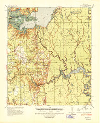
1941 · Buckeye
USGS Topo · 1:62,500

1953 · Alexandria
USGS Topo · 1:250,000

1955 · Alexandria
USGS Topo · 1:250,000
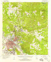
1957 · Alexandria
USGS Topo · 1:62,500
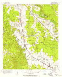
1957 · Lecompte
USGS Topo · 1:62,500
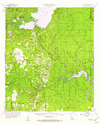
1959 · Buckeye
USGS Topo · 1:62,500
1962 · Marksville
USGS Topo · 1:62,500