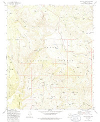
1973 Map of Buckhead Mesa
USGS Topo · Published 1986About this map
Tonto Natural Bridge stands as a central landmark in this 1970s survey of the Gila County high country, where the landscape transitions through the Tonto National Forest. The map documents a rugged interior network of Jeep trails and water management features, including the Bradshaw Tank and Buckhead Tank, essential for sustaining movement through this arid upland. To the west, the boundary of the Mazatzal Wilderness skirts the Walnut Canyon area, preserving the undeveloped character of the Pine Ridge.
Find a feature on this map
91 named features on this map. Tap any name to fly to it.
Don’t see what you’re looking for? This feature index may not catch every label — zoom into the map to look around manually.
Map Details
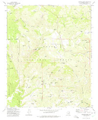
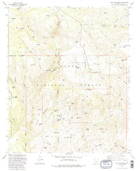
Editions of this 1973 Buckhead Mesa Map
3 editions found
Other maps of this area

1887 · Verde
USGS Topo · 1:250,000

1892 · Verde
USGS Topo · 1:250,000

1929 · Turret Peak
USGS Topo · 1:125,000

1933 · Turret Peak
USGS Topo · 1:125,000

1934 · Pine
USGS Topo · 1:62,500

1936 · Payson
USGS Topo · 1:48,000

1940 · Pine
USGS Topo · 1:62,500

1942 · Payson
USGS Topo · 1:62,500

1952 · Pine
USGS Topo · 1:62,500

1954 · Holbrook
USGS Topo · 1:250,000