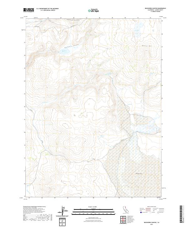
2021 Map of Buckhorn Canyon
USGS Topo · Published 2021About this map
The Cottonwood Mountains define the northern reaches of this high-elevation landscape in Lassen County. Water sources are the primary landmarks in this arid environment, ranging from the Buckhorn Reservoir to numerous named seeps such as Wire Corral Spring, Accommodation Spring, and Hog Spring. The terrain is marked by significant topographical shifts, moving from the depths of Buckhorn Canyon up toward the summit of Button Mtn. To the south, the land opens into the broad expanse of Painters Flat, a region characterized by its drainage into Painters Cr. The presence of Dry Lake and various intermittent drainages like Smoke Cr highlights the seasonal water patterns critical to the ranching and natural history of this part of northeastern California. Access to these remote features is provided by primitive tracks including Buckhorn Rd and Horn Rd.
Find a feature on this map
21 named features on this map. Tap any name to fly to it.
Don’t see what you’re looking for? This feature index may not catch every label — zoom into the map to look around manually.
Map Details
Editions of this 2021 Buckhorn Canyon Map
This is the sole edition of this map. No revisions or reprints were ever made.
Other maps of this area

1886 · Honey Lake
USGS Topo · 1:250,000

1886 · Granite Range
USGS Topo · 1:250,000

1891 · Honey Lake
USGS Topo · 1:250,000

1893 · Honey Lake
USGS Topo · 1:250,000

1894 · Granite Range
USGS Topo · 1:250,000

1954 · Observation Peak
USGS Topo · 1:62,500

1954 · Shinn Mountain
USGS Topo · 1:62,500

1955 · Westwood
USGS Topo · 1:250,000

1955 · Lovelock
USGS Topo · 1:250,000

1958 · Westwood
USGS Topo · 1:250,000