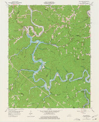
1961 Map of Buckhorn
USGS Topo · Published 1975About this map
Buckhorn Lake dominates the center of this 1961 revision, reflecting a landscape transformed by the construction of the Buckhorn Dam. The reservoir winds through the deep valleys of the Cumberland Plateau, submerging portions of the river's original path while leaving communities like Buckhorn and Gays Creek along its elevated margins. This era represents a significant shift for the region, where older patterns of valley settlement and small-scale mountain farming began to give way to large-scale water management and recreation.
Find a feature on this map
69 named features on this map. Tap any name to fly to it.
Don’t see what you’re looking for? This feature index may not catch every label — zoom into the map to look around manually.
Map Details
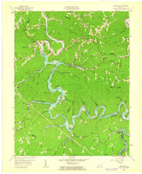
Editions of this 1961 Buckhorn Map
2 editions found
Other maps of this area

1891 · Manchester
USGS Topo · 1:125,000

1891 · Hazard
USGS Topo · 1:125,000

1913 · Buckhorn
USGS Topo · 1:62,500

1916 · Hyden
USGS Topo · 1:48,000

1919 · Hyden
USGS Topo · 1:62,500

1953 · Buckhorn
USGS Topo · 1:24,000

1953 · Cowcreek
USGS Topo · 1:24,000

1953 · Hyden West
USGS Topo · 1:24,000

1953 · Big Creek
USGS Topo · 1:24,000

1953 · Mistletoe
USGS Topo · 1:24,000