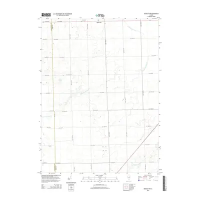
2015 Map of Buckley NW
USGS Topo · Published 2015About this map
Piper City stands at the northern edge of this Ford County landscape, serving as a primary point of reference in an area defined by its precise agricultural grid. The terrain is bisected by the N Fork Vermilion River, which meanders across the section lines, providing a natural contrast to the rigid network of rural roads like North 1500E Rd and East 2000N Rd. For those tracing local heritage, Brewton Cem is situated north of the main settlement, a quiet landmark near the junction of North 1400E Rd. The inclusion of Laue Lake west of the river reveals a localized water feature within the drainage basin of the Vermilion. This survey documents the persistent rural character of the Illinois prairie, where the boundaries of Livingston and Ford Counties meet amidst a landscape of well-established farmsteads and drainage networks.
Find a feature on this map
28 named features on this map. Tap any name to fly to it.
Don’t see what you’re looking for? This feature index may not catch every label — zoom into the map to look around manually.
Map Details
Editions of this 2015 Buckley NW Map
This is the sole edition of this map. No revisions or reprints were ever made.
Other maps of this area

1944 · Piper City
USGS Topo · 1:48,000

1947 · Piper City
USGS Topo · 1:62,500

1947 · Sibley
USGS Topo · 1:62,500

1947 · Cullom
USGS Topo · 1:62,500

1948 · Buckley
USGS Topo · 1:62,500

1949 · Buckley
USGS Topo · 1:62,500

1949 · Cullom
USGS Topo · 1:62,500

1949 · Sibley
USGS Topo · 1:62,500

1958 · Peoria
USGS Topo · 1:250,000

1961 · Peoria
USGS Topo · 1:250,000