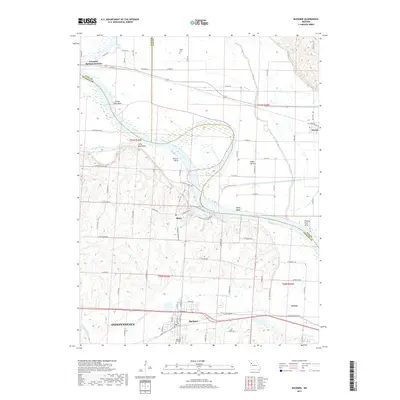
2017 Map of Buckner
USGS Topo · Published 2017About this map
The Missouri River carves a dramatic serpentine path through this Missouri landscape, creating distinct landforms like Jackass Bend, Little Blue Bend, and Sibley Bend. These deep meanders have shaped the local geography, leaving behind the Egypt Bottom and the oxbow of Cooley Lake. The topography shifts from the flat alluvial plains of the river valley to the more varied terrain near the northeastern edge of Independence.
Find a feature on this map
88 named features on this map. Tap any name to fly to it.
Don’t see what you’re looking for? This feature index may not catch every label — zoom into the map to look around manually.
Map Details
Editions of this 2017 Buckner Map
This is the sole edition of this map. No revisions or reprints were ever made.
Other maps of this area

1894 · Independence
USGS Topo · 1:125,000

1933 · Blue Springs
USGS Topo · 1:24,000

1934 · Oak Grove
USGS Topo · 1:24,000

1935 · Buckner
USGS Topo · 1:24,000

1935 · Missouri City
USGS Topo · 1:24,000

1936 · Kearney
USGS Topo · 1:48,000

1942 · Kearney
USGS Topo · 1:62,500

1945 · Kearney
USGS Topo · 1:62,500
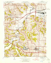
1945 · Blue Springs
USGS Topo · 1:24,000
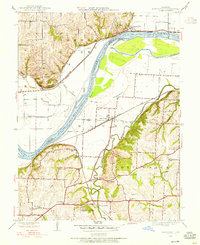
1945 · Missouri City
USGS Topo · 1:24,000