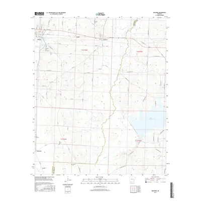
2017 Map of Buckner
USGS Topo · Published 2017About this map
Bayou Dorcheat meanders through the center of this landscape, forming the natural boundary between Lafayette and Columbia counties. This recent survey shows the development of Stamps and Buckner along the northern rail corridor, where street grids like E Antigo St and Thula St meet rural routes. The map is particularly useful for genealogical research, documenting several burial sites including Lakeside Cem near Lake June, Oak Grove Cem, and Patterson Cem further south. The eastern portion is dominated by the expansive Lake Columbia, while the southern reaches near McKamie and Lerch are defined by the convergence of smaller tributaries like Beech Cr and Holly Cr. The transition from the town blocks of Stamps to the vast water bodies and creek bottoms illustrates the enduring importance of water resources in this Arkansas timber and oil region.
Find a feature on this map
82 named features on this map. Tap any name to fly to it.
Don’t see what you’re looking for? This feature index may not catch every label — zoom into the map to look around manually.
Map Details
Editions of this 2017 Buckner Map
This is the sole edition of this map. No revisions or reprints were ever made.
Other maps of this area

1952 · Bradley NE
USGS Topo · 1:24,000

1952 · Old Town
USGS Topo · 1:24,000

1952 · Lewisville
USGS Topo · 1:24,000

1953 · El Dorado
USGS Topo · 1:250,000

1957 · El Dorado
USGS Topo · 1:250,000

1958 · El Dorado
USGS Topo · 1:250,000

1960 · El Dorado
USGS Topo · 1:250,000

1960 · Bussey
USGS Topo · 1:24,000

1960 · Macedonia
USGS Topo · 1:24,000

1968 · Buckner
USGS Topo · 1:24,000