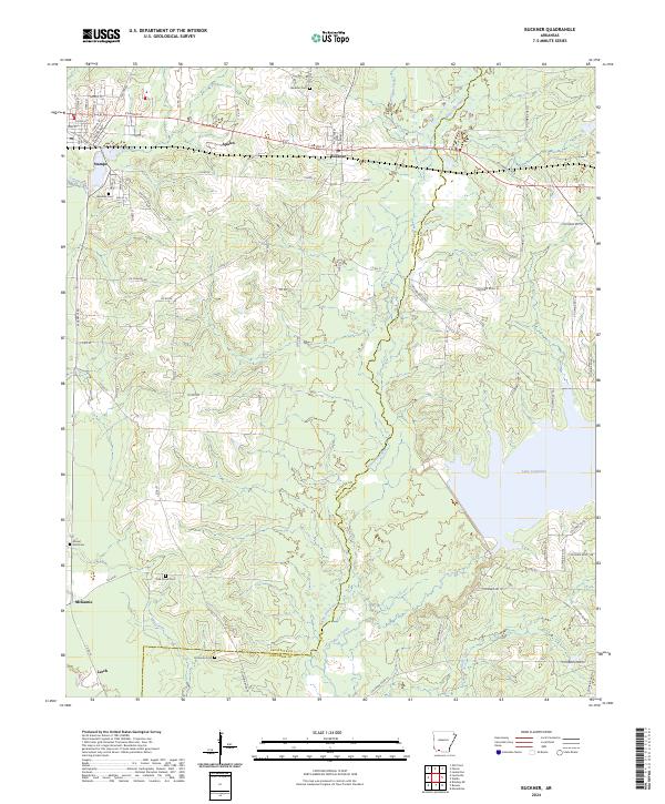
2024 Map of Buckner
USGS Topo · Published 2024About this map
Buckner and the neighboring community of Stamps anchor this 2024 landscape in the southwest Arkansas piney woods. The terrain is defined by the winding course of Bayou Dorcheat, which serves as a natural boundary between Lafayette and Columbia Counties before feeding into the expansive Lake Columbia. This modern survey details the interface between residential grids and the dense network of county roads that navigate the timber-rich lowlands of the Gulf Coastal Plain.
Find a feature on this map
58 named features on this map. Tap any name to fly to it.
Don’t see what you’re looking for? This feature index may not catch every label — zoom into the map to look around manually.
Map Details
Editions of this 2024 Buckner Map
This is the sole edition of this map. No revisions or reprints were ever made.
Other maps of this area

1952 · Bradley NE
USGS Topo · 1:24,000

1952 · Old Town
USGS Topo · 1:24,000

1952 · Lewisville
USGS Topo · 1:24,000

1953 · El Dorado
USGS Topo · 1:250,000

1957 · El Dorado
USGS Topo · 1:250,000

1958 · El Dorado
USGS Topo · 1:250,000

1960 · El Dorado
USGS Topo · 1:250,000

1960 · Bussey
USGS Topo · 1:24,000

1960 · Macedonia
USGS Topo · 1:24,000

1968 · Buckner
USGS Topo · 1:24,000