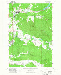
1959 Map of Bucoda
USGS Topo · Published 1966About this map
Tenino sits at a historic crossroads in the late 1950s, where the Great Northern and Northern Pacific railroads converge near the Oregon Trail Monument. The landscape transitions from the residential streets of Bucoda to the industrial and agricultural reaches of the Hanaford Valley. Evidence of the region’s resource-based economy is visible at the Black Prince Mine and several other unlabeled mines along an Old Railroad Grade in the south. The rural character of the area is further defined by the Tono Landing Strip and the winding course of the Skookumchuck River. Notable community landmarks such as the Forest Cemetery, Grange Hall, and the Memorial Swimming Pool provide specific points of interest for genealogists and local historians tracing the development of Thurston and Lewis Counties.
Find a feature on this map
40 named features on this map. Tap any name to fly to it.
Don’t see what you’re looking for? This feature index may not catch every label — zoom into the map to look around manually.
Map Details
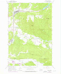
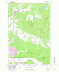
Editions of this 1959 Bucoda Map
Other maps of this area

1916 · Chehalis
USGS Topo · 1:125,000

1940 · Tenino
USGS Topo · 1:62,500

1943 · Willapa
USGS Topo · 1:62,500

1944 · Tenino
USGS Topo · 1:62,500

1944 · Yelm
USGS Topo · 1:62,500

1949 · Yelm
USGS Topo · 1:62,500

1949 · Tenino
USGS Topo · 1:62,500

1953 · Hoquiam
USGS Topo · 1:250,000

1954 · Onalaska
USGS Topo · 1:62,500

1954 · Centralia
USGS Topo · 1:62,500