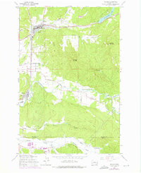
1959 Map of Bucoda
USGS Topo · Published 1976About this map
Tenino and Bucoda anchor a landscape defined by the convergence of rail and river industry in southern Thurston County. This record captures the transition from steam-era resources to modern transport, highlighting the Burlington Northern and Union Pacific corridors that flank the Skookumchuck River. The presence of the Black Prince Mine and several unnamed Mines in the Hanaford Valley points to the coal-rich geology of the region, while the Tono Landing Strip marks the remains of the Tono company town site.
Find a feature on this map
41 named features on this map. Tap any name to fly to it.
Don’t see what you’re looking for? This feature index may not catch every label — zoom into the map to look around manually.
Map Details
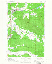
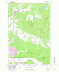
Editions of this 1959 Bucoda Map
Other maps of this area

1916 · Chehalis
USGS Topo · 1:125,000

1940 · Tenino
USGS Topo · 1:62,500

1943 · Willapa
USGS Topo · 1:62,500

1944 · Tenino
USGS Topo · 1:62,500

1944 · Yelm
USGS Topo · 1:62,500

1949 · Yelm
USGS Topo · 1:62,500

1949 · Tenino
USGS Topo · 1:62,500

1953 · Hoquiam
USGS Topo · 1:250,000

1954 · Onalaska
USGS Topo · 1:62,500

1954 · Centralia
USGS Topo · 1:62,500