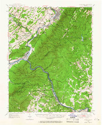
1950 Map of Buena Vista
USGS Topo · Published 1966About this map
The Maury River and James River converge in this mid-century survey, defining a region where industrial rail networks and high mountain ridges meet. The Norfolk and Western Railway and Chesapeake and Ohio Railway follow the river bends, serving the manufacturing and transit needs of Buena Vista and Glasgow. This era shows the landscape before modern expansion, with small community centers like Mechanicsville and Pedlar Mills maintaining their distinct identities.
Find a feature on this map
96 named features on this map. Tap any name to fly to it.
Don’t see what you’re looking for? This feature index may not catch every label — zoom into the map to look around manually.
Map Details
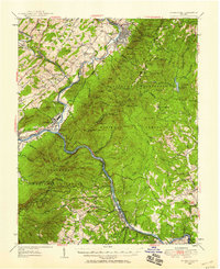
Editions of this 1950 Buena Vista Map
2 editions found
Other maps of this area

1890 · Roanoke
USGS Topo · 1:125,000

1891 · Roanoke
USGS Topo · 1:125,000

1892 · Lynchburg
USGS Topo · 1:125,000

1894 · Natural Bridge
USGS Topo · 1:125,000

1894 · Lexington
USGS Topo · 1:125,000

1894 · Natural Bridge
USGS Topo · 1:62,500

1907 · Natural Bridge Special
USGS Topo · 1:62,500

1932 · Lexington
USGS Topo · 1:48,000

1935 · Buena Vista
USGS Topo · 1:48,000

1935 · Amherst
USGS Topo · 1:48,000