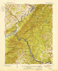
1952 Map of Buena Vista
USGS Topo · Published 1952About this map
The James River and Maury River converge in this mid-century topographic survey, highlighting a region defined by industrial waterpower and mountain crossings. The industrial character of Buena Vista and Glasgow is evident, while the surrounding landscape transitions into the steep ridges of the George Washington National Forest and Jefferson National Forest. This era shows the established routes of the Norfolk and Western Railway and the Chesapeake and Ohio Railway as they follow the river valleys, critical for the transport of materials from local operations like the Lone Jack Quarry.
Find a feature on this map
122 named features on this map. Tap any name to fly to it.
Don’t see what you’re looking for? This feature index may not catch every label — zoom into the map to look around manually.
Map Details
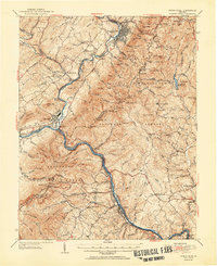
Editions of this 1952 Buena Vista Map
2 editions found
Other maps of this area

1890 · Roanoke
USGS Topo · 1:125,000

1891 · Roanoke
USGS Topo · 1:125,000

1892 · Lynchburg
USGS Topo · 1:125,000

1894 · Natural Bridge
USGS Topo · 1:125,000

1894 · Lexington
USGS Topo · 1:125,000

1894 · Natural Bridge
USGS Topo · 1:62,500

1907 · Natural Bridge Special
USGS Topo · 1:62,500

1932 · Lexington
USGS Topo · 1:48,000

1935 · Buena Vista
USGS Topo · 1:48,000

1935 · Amherst
USGS Topo · 1:48,000