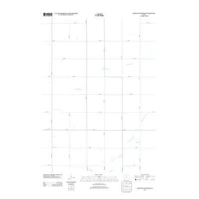
2013 Map of Buffalo Center SW
USGS Topo · Published 2013About this map
Agricultural patterns in Kossuth County are defined by a rigorous township-and-range road system, shown here in the early 21st century. The landscape is primarily shaped by the meandering course of Little Buffalo Cr, which winds through the northwestern and central portions of the map. Unlike the straight lines of the surrounding section roads like 400th St and 20th Ave, the creek follows a natural, irregular path across the prairie. In the southeastern corner, the water management history of the region is evident through Drainage Ditch Number 48, a straight-channeled engineered waterway that joins Buffalo Cr. This intersection of natural hydrology and systematic land drainage illustrates the intensive land use required for high-yield farming in this part of northern Iowa.
Find a feature on this map
22 named features on this map. Tap any name to fly to it.
Don’t see what you’re looking for? This feature index may not catch every label — zoom into the map to look around manually.
Map Details
Editions of this 2013 Buffalo Center SW Map
This is the sole edition of this map. No revisions or reprints were ever made.
Other maps of this area

1954 · Fairmont
USGS Topo · 1:250,000

1954 · Mason City
USGS Topo · 1:250,000

1957 · Mason City
USGS Topo · 1:250,000

1958 · Mason City
USGS Topo · 1:250,000

1958 · Fairmont
USGS Topo · 1:250,000

1972 · German Valley
USGS Topo · 1:24,000

1972 · Buffalo Center
USGS Topo · 1:24,000

1972 · Buffalo Center SW
USGS Topo · 1:24,000

1972 · Buffalo Center NE
USGS Topo · 1:24,000

1972 · Titonka
USGS Topo · 1:24,000