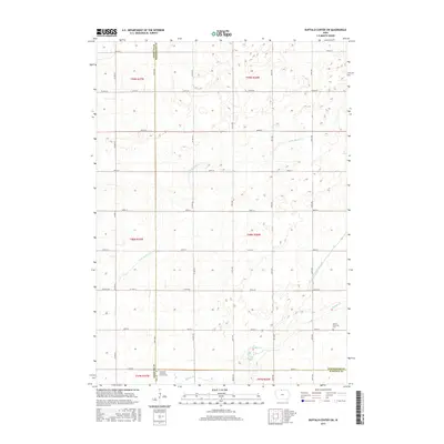
2015 Map of Buffalo Center SW
USGS Topo · Published 2015About this map
Immanuel Lutheran Church Cem stands as a focal point for genealogy in this northern Iowa landscape, marking a historic corner where Kossuth and Winnebago counties meet. The terrain is defined by its agricultural regularity, partitioned by an extensive network of rural routes such as Co Rd R14 and Co Rd R16. Water management is central to the area's development, evidenced by the winding path of Little Buffalo Cr and the engineered precision of Drainage Ditch Number 48, which supports the productivity of the surrounding prairie fields. Further south, Grant Township Cem provides another vital link for local historians tracing early families in the region. The map illustrates a mature farming economy, where the land is meticulously organized into townships like t98n r26w, connected by high-capacity thoroughfares such as Co Hwy B and Co Hwy A42.
Find a feature on this map
37 named features on this map. Tap any name to fly to it.
Don’t see what you’re looking for? This feature index may not catch every label — zoom into the map to look around manually.
Map Details
Editions of this 2015 Buffalo Center SW Map
This is the sole edition of this map. No revisions or reprints were ever made.
Other maps of this area

1954 · Fairmont
USGS Topo · 1:250,000

1954 · Mason City
USGS Topo · 1:250,000

1957 · Mason City
USGS Topo · 1:250,000

1958 · Mason City
USGS Topo · 1:250,000

1958 · Fairmont
USGS Topo · 1:250,000

1972 · German Valley
USGS Topo · 1:24,000

1972 · Buffalo Center
USGS Topo · 1:24,000

1972 · Buffalo Center SW
USGS Topo · 1:24,000

1972 · Buffalo Center NE
USGS Topo · 1:24,000

1972 · Titonka
USGS Topo · 1:24,000