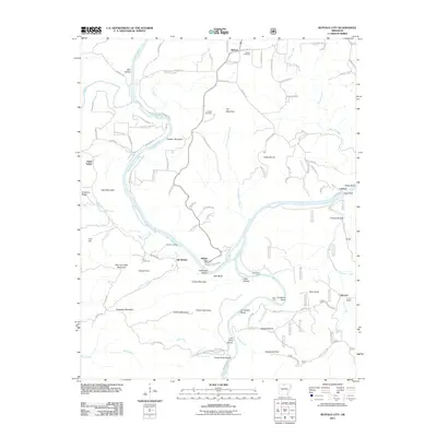
2011 Map of Buffalo City
USGS Topo · Published 2011About this map
Buffalo City sits at the dramatic confluence where the Buffalo River meets the White River, a location defined by deep river bends and steep bluffs. This 2011 survey shows a landscape where small settlements like Old Buffalo and Buford are connected by a network of county roads and named trails such as Cameron Trl and Lothlorien Trl. The geography is marked by numerous family-named landmarks and hollows, including Hathaway Hollow and Cook Hollow, indicating a long history of local land use and residency.
Find a feature on this map
123 named features on this map. Tap any name to fly to it.
Don’t see what you’re looking for? This feature index may not catch every label — zoom into the map to look around manually.
Map Details
Editions of this 2011 Buffalo City Map
This is the sole edition of this map. No revisions or reprints were ever made.
Other maps of this area

1890 · Mountain Home
USGS Topo · 1:125,000

1891 · Mountain Home
USGS Topo · 1:125,000

1893 · Yellville
USGS Topo · 1:125,000

1894 · Mountain Home
USGS Topo · 1:125,000

1903 · Yellville
USGS Topo · 1:125,000

1905 · Yellville
USGS Topo · 1:125,000

1929 · Yellville
USGS Topo · 1:125,000

1945 · Harrison
USGS Topo · 1:250,000

1949 · Harrison
USGS Topo · 1:250,000

1954 · Harrison
USGS Topo · 1:250,000