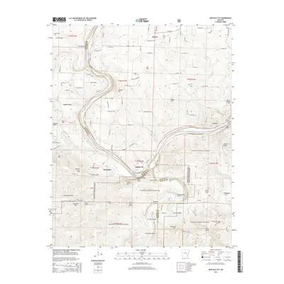
2014 Map of Buffalo City
USGS Topo · Published 2014About this map
The confluence of the Buffalo River and the White River anchors this North Central Arkansas landscape, marking a historical focal point for river travel and early settlement. Buffalo City sits at this significant junction, while the nearby site of Old Buffalo reflects the shifting nature of riverfront communities in Marion County. The terrain is characterized by steep bluffs and deep hollows, including Stair Bluff and Cook Hollow, which overlook the winding watercourses.
Find a feature on this map
127 named features on this map. Tap any name to fly to it.
Don’t see what you’re looking for? This feature index may not catch every label — zoom into the map to look around manually.
Map Details
Editions of this 2014 Buffalo City Map
This is the sole edition of this map. No revisions or reprints were ever made.
Other maps of this area

1890 · Mountain Home
USGS Topo · 1:125,000

1891 · Mountain Home
USGS Topo · 1:125,000

1893 · Yellville
USGS Topo · 1:125,000

1894 · Mountain Home
USGS Topo · 1:125,000

1903 · Yellville
USGS Topo · 1:125,000

1905 · Yellville
USGS Topo · 1:125,000

1929 · Yellville
USGS Topo · 1:125,000

1945 · Harrison
USGS Topo · 1:250,000

1949 · Harrison
USGS Topo · 1:250,000

1954 · Harrison
USGS Topo · 1:250,000