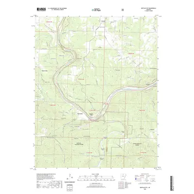
2020 Map of Buffalo City
USGS Topo · Published 2020About this map
The confluence of the White River and the Buffalo River serves as the focal point for this survey, where the river-bound communities of Buffalo City and Old Buffalo are situated along the lower reach of the Buffalo National River. The topography is defined by dramatic elevation changes at Stair Bluff and Lone Rock, with the landscape rising sharply toward peaks like Prince Fred Knob and Cleveland Knob. This area on the border of Marion and Baxter counties reflects a blend of protected wilderness and rural settlement patterns.
Find a feature on this map
137 named features on this map. Tap any name to fly to it.
Don’t see what you’re looking for? This feature index may not catch every label — zoom into the map to look around manually.
Map Details
Editions of this 2020 Buffalo City Map
This is the sole edition of this map. No revisions or reprints were ever made.
Other maps of this area

1890 · Mountain Home
USGS Topo · 1:125,000

1891 · Mountain Home
USGS Topo · 1:125,000

1893 · Yellville
USGS Topo · 1:125,000

1894 · Mountain Home
USGS Topo · 1:125,000

1903 · Yellville
USGS Topo · 1:125,000

1905 · Yellville
USGS Topo · 1:125,000

1929 · Yellville
USGS Topo · 1:125,000

1945 · Harrison
USGS Topo · 1:250,000

1949 · Harrison
USGS Topo · 1:250,000

1954 · Harrison
USGS Topo · 1:250,000