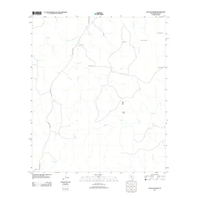
2012 Map of Buffalo Knob
USGS Topo · Published 2012About this map
Buffalo Knob and High Pond Mtn dominate this section of the San Saba County landscape, characterizing the high ground between the drainage basins of Wallace Cr and Buffalo Cr. This 2012 survey illustrates a sparsely settled ranching region where water management is critical to the local economy and land use. The map reveals a network of essential water infrastructure, including several named windmills such as Bull Trap Windmill, Kelley Windmill, and the Flying V Windmill.
Find a feature on this map
19 named features on this map. Tap any name to fly to it.
Don’t see what you’re looking for? This feature index may not catch every label — zoom into the map to look around manually.
Map Details
Editions of this 2012 Buffalo Knob Map
This is the sole edition of this map. No revisions or reprints were ever made.
Other maps of this area

1885 · San Saba
USGS Topo · 1:125,000

1887 · Llano
USGS Topo · 1:125,000

1894 · San Saba
USGS Topo · 1:125,000

1894 · Llano
USGS Topo · 1:125,000

1904 · Llano
USGS Topo · 1:125,000

1909 · Llano
USGS Topo · 1:125,000

1918 · Llano
USGS Topo · 1:125,000

1931 · Bend
USGS Topo · 1:62,500

1954 · Brownwood
USGS Topo · 1:250,000

1954 · Llano
USGS Topo · 1:250,000