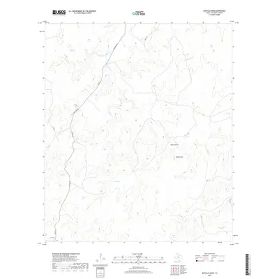
2019 Map of Buffalo Knob
USGS Topo · Published 2019About this map
Buffalo Knob and the neighboring elevation of High Pond Mtn dominate this central Texas landscape, where the terrain is defined by a complex network of seasonal drainages and creek beds. The drainage pattern is particularly evident in the northern portion of the quadrangle, where Wallace Cr flows near Wallace Springs and Dry Simpson Cr carves through the undulating ground. These water sources have long been critical for ranching in San Saba County, supported further by features like Click Tank and the southern reaches of Buffalo Cr. Transportation across this rural expanse is maintained through a system of county roads and ranchers' routes, notably Ranch Rd 1030 and Co Rd 310, which trace the higher ground between the various creek branches such as Latham Cr and McDonald Br.
Find a feature on this map
15 named features on this map. Tap any name to fly to it.
Don’t see what you’re looking for? This feature index may not catch every label — zoom into the map to look around manually.
Map Details
Editions of this 2019 Buffalo Knob Map
This is the sole edition of this map. No revisions or reprints were ever made.
Other maps of this area

1885 · San Saba
USGS Topo · 1:125,000

1887 · Llano
USGS Topo · 1:125,000

1894 · San Saba
USGS Topo · 1:125,000

1894 · Llano
USGS Topo · 1:125,000

1904 · Llano
USGS Topo · 1:125,000

1909 · Llano
USGS Topo · 1:125,000

1918 · Llano
USGS Topo · 1:125,000

1931 · Bend
USGS Topo · 1:62,500

1954 · Brownwood
USGS Topo · 1:250,000

1954 · Llano
USGS Topo · 1:250,000