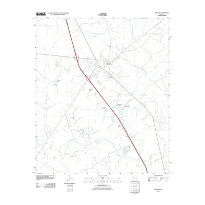
2010 Map of Buffalo
USGS Topo · Published 2010About this map
Buffalo serves as the primary hub of this East Texas landscape, where the intersection of regional thoroughfares and small-scale water management projects defines the community. The town is flanked by numerous private and municipal water features, including Cain Lake, Heil Lake, and the tandem Harcrow Lake Number 1 and Harcrow Lake Number 2. These reservoirs, managed by structures like Cain Lake Dam and Raines Dam, point to a history of water conservation and land use in the Leon County area.
Find a feature on this map
61 named features on this map. Tap any name to fly to it.
Don’t see what you’re looking for? This feature index may not catch every label — zoom into the map to look around manually.
Map Details
Editions of this 2010 Buffalo Map
This is the sole edition of this map. No revisions or reprints were ever made.
Other maps of this area

1919 · Fairfield
USGS Topo · 1:62,500

1953 · Palestine
USGS Topo · 1:250,000

1954 · Waco
USGS Topo · 1:250,000

1955 · Waco
USGS Topo · 1:250,000

1956 · Jewett
USGS Topo · 1:62,500

1957 · Palestine
USGS Topo · 1:250,000

1964 · Centerville
USGS Topo · 1:24,000

1964 · Flo
USGS Topo · 1:24,000

1964 · Keechi
USGS Topo · 1:24,000

1965 · Jewett
USGS Topo · 1:24,000