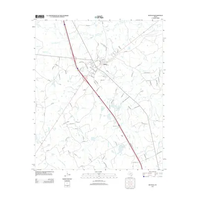
2013 Map of Buffalo
USGS Topo · Published 2013About this map
Buffalo serves as the central hub of this Leon County landscape, where the convergence of major highways and local roads reveals a community defined by its transit corridors and rural outskirts. The settlement's street grid, including Kayla St and Center St, transitions quickly into a network of country roads such as Co Rd-365 and Cherokee Ridge Rd. The surrounding terrain is heavily influenced by the drainage patterns of Buffalo Cr and Bliss Cr, which feed several significant water bodies including Harcrow Lake Number 1 and Red Oak Lake. Genealogists will find particular value in the documentation of several local burial sites, notably Sand Hill Cem, Graham Cem, and Nettles Cem, which are situated along the secondary roads and ridges that characterize this part of East Texas.
Find a feature on this map
102 named features on this map. Tap any name to fly to it.
Don’t see what you’re looking for? This feature index may not catch every label — zoom into the map to look around manually.
Map Details
Editions of this 2013 Buffalo Map
This is the sole edition of this map. No revisions or reprints were ever made.
Other maps of this area

1919 · Fairfield
USGS Topo · 1:62,500

1953 · Palestine
USGS Topo · 1:250,000

1954 · Waco
USGS Topo · 1:250,000

1955 · Waco
USGS Topo · 1:250,000

1956 · Jewett
USGS Topo · 1:62,500

1957 · Palestine
USGS Topo · 1:250,000

1964 · Centerville
USGS Topo · 1:24,000

1964 · Flo
USGS Topo · 1:24,000

1964 · Keechi
USGS Topo · 1:24,000

1965 · Jewett
USGS Topo · 1:24,000