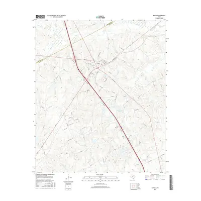
2016 Map of Buffalo
USGS Topo · Published 2016About this map
Buffalo sits at a strategic junction in Leon County, where the convergence of major highways and local roads marks a landscape defined by small water bodies and rural cemeteries. The town's grid, featuring streets like E Commerce St and S Buffalo Ave, transitions into the residential area of Golden Acres. This 2016 survey illustrates a terrain heavily carved by numerous small tributaries including Buffalo Cr, Alligator Cr, and Cane Br. The frequency of private lakes such as Cain Lake, Harcrow Lake, and Red Oak Lake suggests a landscape managed for local water resources and recreation. For those researching family history in the area, the map precisely locates several burial grounds including Sand Hill Cem, Graham Cem, and Nettles Cem, providing essential points of reference for genealogical studies near the Freestone County line.
Find a feature on this map
96 named features on this map. Tap any name to fly to it.
Don’t see what you’re looking for? This feature index may not catch every label — zoom into the map to look around manually.
Map Details
Editions of this 2016 Buffalo Map
This is the sole edition of this map. No revisions or reprints were ever made.
Other maps of this area

1919 · Fairfield
USGS Topo · 1:62,500

1953 · Palestine
USGS Topo · 1:250,000

1954 · Waco
USGS Topo · 1:250,000

1955 · Waco
USGS Topo · 1:250,000

1956 · Jewett
USGS Topo · 1:62,500

1957 · Palestine
USGS Topo · 1:250,000

1964 · Centerville
USGS Topo · 1:24,000

1964 · Flo
USGS Topo · 1:24,000

1964 · Keechi
USGS Topo · 1:24,000

1965 · Jewett
USGS Topo · 1:24,000