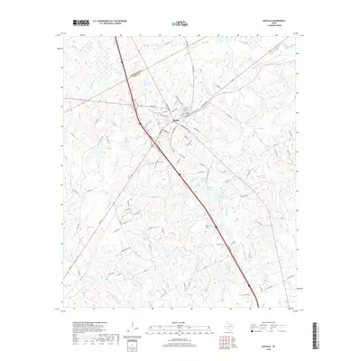
2019 Map of Buffalo
USGS Topo · Published 2019About this map
The crossroads community of Buffalo serves as the focal point of this Leon County survey, situated at a major transportation junction. The landscape is defined by a dendritic network of streams, including Buffalo Cr to the north and the N Fork Lower Keechi Cr in the south, which feed into several local impoundments such as Days Lake and Harcrow Lake. This 2019 edition provides a contemporary look at a rural Texas landscape that retains its traditional settlement patterns despite modern highway development. Genealogists will find particular value in the documentation of local burial grounds, including Sand Hill Cem, Graham Cem, and Nettles Cem. These sites, along with topographical features like Sand Hill, offer a grounded record of the area's family history and land use, while the numerous small tributaries like Alligator Cr and Bliss Cr trace the natural drainage of the Post Oak Savannah region.
Find a feature on this map
98 named features on this map. Tap any name to fly to it.
Don’t see what you’re looking for? This feature index may not catch every label — zoom into the map to look around manually.
Map Details
Editions of this 2019 Buffalo Map
This is the sole edition of this map. No revisions or reprints were ever made.
Other maps of this area

1919 · Fairfield
USGS Topo · 1:62,500

1953 · Palestine
USGS Topo · 1:250,000

1954 · Waco
USGS Topo · 1:250,000

1955 · Waco
USGS Topo · 1:250,000

1956 · Jewett
USGS Topo · 1:62,500

1957 · Palestine
USGS Topo · 1:250,000

1964 · Centerville
USGS Topo · 1:24,000

1964 · Flo
USGS Topo · 1:24,000

1964 · Keechi
USGS Topo · 1:24,000

1965 · Jewett
USGS Topo · 1:24,000