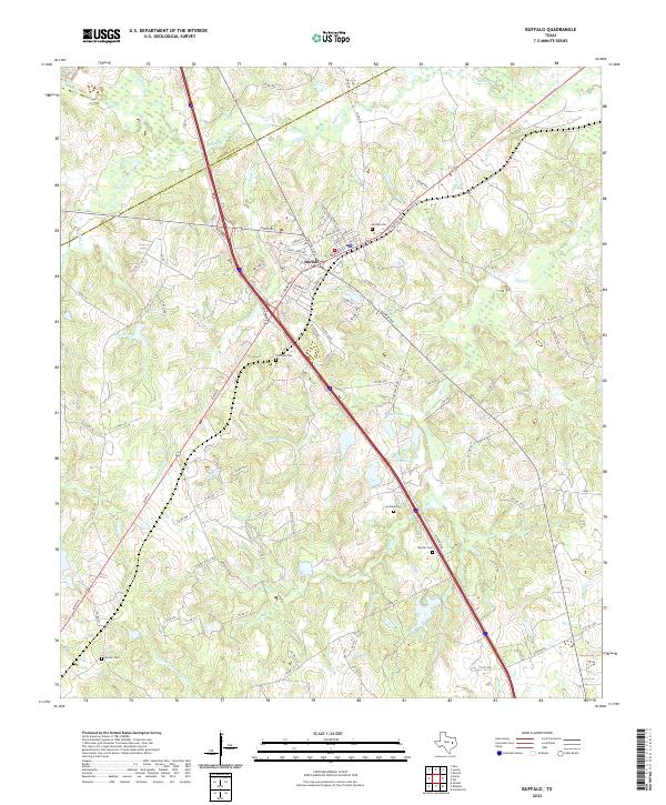
2022 Map of Buffalo
USGS Topo · Published 2022About this map
Buffalo serves as the central hub of this East Texas landscape, situated at the intersection of major transit corridors and the boundary between Freestone and Leon Counties. The topography is defined by a dense network of seasonal and perennial waterways, including Buffalo Creek and North Fork Lower Keechi Creek, which wind through a mosaic of small lakes and family-named landmarks. For local historians and genealogists, the distribution of burial sites like Sand Hill Cemetery and Graham Cemetery across the terrain offers significant insight into early rural settlement patterns outside the town center.
Find a feature on this map
99 named features on this map. Tap any name to fly to it.
Don’t see what you’re looking for? This feature index may not catch every label — zoom into the map to look around manually.
Map Details
Editions of this 2022 Buffalo Map
This is the sole edition of this map. No revisions or reprints were ever made.
Other maps of this area

1919 · Fairfield
USGS Topo · 1:62,500

1953 · Palestine
USGS Topo · 1:250,000

1954 · Waco
USGS Topo · 1:250,000

1955 · Waco
USGS Topo · 1:250,000

1956 · Jewett
USGS Topo · 1:62,500

1957 · Palestine
USGS Topo · 1:250,000

1964 · Centerville
USGS Topo · 1:24,000

1964 · Flo
USGS Topo · 1:24,000

1964 · Keechi
USGS Topo · 1:24,000

1965 · Jewett
USGS Topo · 1:24,000