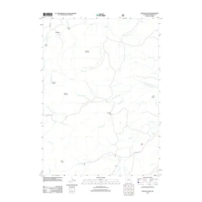
2012 Map of Buffalo Peak
USGS Topo · Published 2012About this map
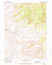
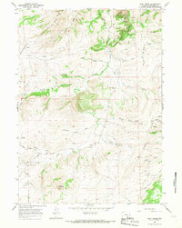
Boxelder and its surrounding high-country drainages characterize this portion of Converse County. The landscape is defined by its complex network of seasonal and perennial waterways, including the winding course of Box Elder Cr and the deeply carved La Prele Gorge. Numerous family-named and geographic landmarks such as Peterson Mountain, Sullivan Mountain, and Buffalo Peak provide clear reference points for researchers tracing historical grazing or land-use patterns. Evidence of local recreation and settlement is found at Silver Spruce Lodge and along the few primary routes like Cold Springs Rd. The map also identifies specific natural features like Boiler Spring and the distinctive Standing Rock, illustrating a sparsely populated but geographically diverse territory where mountain drainages like Horseshoe Bend Cr and Red Canyon Cr converge.
Find a feature on this map
28 named features on this map. Tap any name to fly to it.
Don’t see what you’re looking for? This feature index may not catch every label — zoom into the map to look around manually.
Map Details
Editions of this 2012 Buffalo Peak Map
This is the sole edition of this map. No revisions or reprints were ever made.
Other maps of this area

1954 · Torrington
USGS Topo · 1:250,000

1958 · Torrington
USGS Topo · 1:250,000

1964 · Buck Peak
USGS Topo · 1:24,000

1964 · School Section Mountain
USGS Topo · 1:24,000
1964 · Hermit Rock
USGS Topo · 1:24,000

1964 · Buffalo Peak
USGS Topo · 1:24,000
1964 · Protsmans Knob
USGS Topo · 1:24,000
1964 · Blue Nose Creek
USGS Topo · 1:24,000
1964 · Rock Creek
USGS Topo · 1:24,000
1964 · Root Creek
USGS Topo · 1:24,000