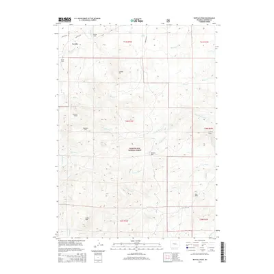
2015 Map of Buffalo Peak
USGS Topo · Published 2015About this map
The settlement of Boxelder sits at the northern edge of this high-altitude landscape, where the northern foothills of the Laramie Mountains meet the Medicine Bow National Forest. This 2015 survey details a complex drainage network including the Boxelder Crk and La Prele Cr, which carves through the dramatic La Prele Gorge in the east. The terrain is defined by significant elevations such as Buffalo Peak, Peterson Mtn, and Sullivan Mtn. Local landmarks like Bear Rock and Standing Rock provide essential orientation points for those navigating the backcountry. The map also reveals the rural road network, with routes like Boxelder Rd and Cold Springs Rd providing access to remote ranching and forest lands near Elk Lake and Boiler Spring.
Find a feature on this map
42 named features on this map. Tap any name to fly to it.
Don’t see what you’re looking for? This feature index may not catch every label — zoom into the map to look around manually.
Map Details
Editions of this 2015 Buffalo Peak Map
This is the sole edition of this map. No revisions or reprints were ever made.
Other maps of this area

1954 · Torrington
USGS Topo · 1:250,000

1958 · Torrington
USGS Topo · 1:250,000

1964 · Buck Peak
USGS Topo · 1:24,000

1964 · School Section Mountain
USGS Topo · 1:24,000
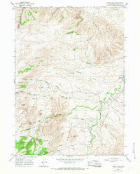
1964 · Hermit Rock
USGS Topo · 1:24,000

1964 · Buffalo Peak
USGS Topo · 1:24,000
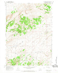
1964 · Protsmans Knob
USGS Topo · 1:24,000
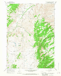
1964 · Blue Nose Creek
USGS Topo · 1:24,000
1964 · Rock Creek
USGS Topo · 1:24,000
1964 · Root Creek
USGS Topo · 1:24,000