
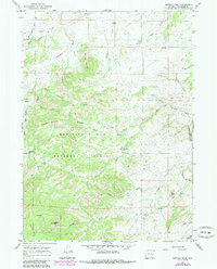
1964 Map of Buffalo Peak
USGS Topo · Published 1968About this map
Boxelder and the surrounding high country of Converse County are defined by a network of drainage systems and summits within the Medicine Bow National Forest in the mid-1960s. The landscape is characterized by isolated outposts like Silver Spruce Lodge and mining-era claims such as Ollins Lode. Significant water sources, including Boiler Spring and Cold Spring, suggest the vital importance of water rights in this arid environment, while the presence of Box Elder School Mtn hints at the location of early community education centers now integrated into the geographic nomenclature.
Find a feature on this map
79 named features on this map. Tap any name to fly to it.
Don’t see what you’re looking for? This feature index may not catch every label — zoom into the map to look around manually.
Map Details
Editions of this 1964 Buffalo Peak Map
2 editions found
Other maps of this area

1954 · Torrington
USGS Topo · 1:250,000

1958 · Torrington
USGS Topo · 1:250,000

1964 · Buck Peak
USGS Topo · 1:24,000

1964 · School Section Mountain
USGS Topo · 1:24,000
1964 · Hermit Rock
USGS Topo · 1:24,000
1964 · Protsmans Knob
USGS Topo · 1:24,000
1964 · Blue Nose Creek
USGS Topo · 1:24,000
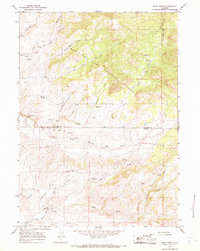
1964 · Rock Creek
USGS Topo · 1:24,000
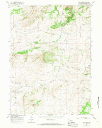
1964 · Root Creek
USGS Topo · 1:24,000
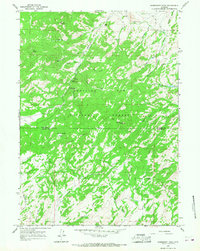
1964 · Warbonnet Peak
USGS Topo · 1:24,000