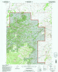
1992 Map of Buffalo Peak
USGS Topo · Published 1996About this map
Buffalo Peak and the high ridges of the Medicine Bow National Forest dominate this landscape during the early 1990s. The map illustrates a complex network of waterways, where Boxelder Creek and La Prele Creek cut through the terrain, the latter carving the notable La Prele Gorge. Human presence is marked by isolated retreats such as Silver Spruce Lodge and Olin Lodge, connected to the wider region via routes like Elder Road and Bear Rock Road.
Find a feature on this map
36 named features on this map. Tap any name to fly to it.
Don’t see what you’re looking for? This feature index may not catch every label — zoom into the map to look around manually.
Map Details
Editions of this 1992 Buffalo Peak Map
This is the sole edition of this map. No revisions or reprints were ever made.
Other maps of this area

1954 · Torrington
USGS Topo · 1:250,000

1958 · Torrington
USGS Topo · 1:250,000

1964 · Buck Peak
USGS Topo · 1:24,000

1964 · School Section Mountain
USGS Topo · 1:24,000
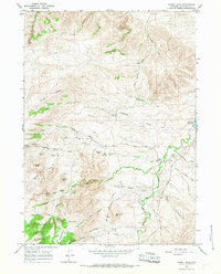
1964 · Hermit Rock
USGS Topo · 1:24,000

1964 · Buffalo Peak
USGS Topo · 1:24,000
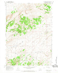
1964 · Protsmans Knob
USGS Topo · 1:24,000
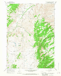
1964 · Blue Nose Creek
USGS Topo · 1:24,000
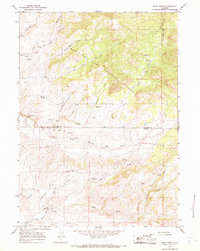
1964 · Rock Creek
USGS Topo · 1:24,000
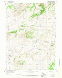
1964 · Root Creek
USGS Topo · 1:24,000