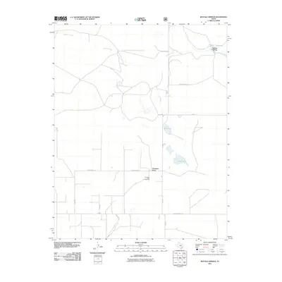
2011 Map of Buffalo Springs
USGS Topo · Published 2011About this map
Buffalo Springs and the small settlement at Thompson Grove anchor this portion of Dallam County in the Texas Panhandle. The landscape is defined by the ephemeral flow of Coldwater Creek in the north and the presence of scattered water bodies such as Flater Lake and Alkali Lakes to the south. The road network reflects the vast, grid-like division of this cattle-ranching region, with distinct local routes like W High Lonesome Ln and Buffalo Springs Ln connecting isolated homesteads and pastures. To the south, the Thompson Grove Campground provides a rare concentrated point of public activity amidst the private agricultural holdings and rural infrastructure that dominate the quadrangle.
Find a feature on this map
17 named features on this map. Tap any name to fly to it.
Don’t see what you’re looking for? This feature index may not catch every label — zoom into the map to look around manually.
Map Details
Editions of this 2011 Buffalo Springs Map
This is the sole edition of this map. No revisions or reprints were ever made.
Other maps of this area

1954 · Dalhart
USGS Topo · 1:250,000

1958 · Dalhart
USGS Topo · 1:250,000

1962 · Dalhart
USGS Topo · 1:250,000

1969 · Felt SW
USGS Topo · 1:24,000

1969 · Boise City SW
USGS Topo · 1:24,000

1969 · Felt
USGS Topo · 1:24,000

1973 · Buffalo Springs
USGS Topo · 1:24,000

1973 · Tovrea Ranch
USGS Topo · 1:24,000

1973 · Corlena
USGS Topo · 1:24,000

1973 · Perico
USGS Topo · 1:24,000