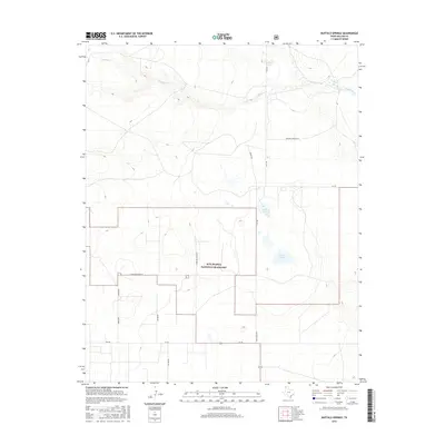
2016 Map of Buffalo Springs
USGS Topo · Published 2016About this map
The Rita Blanca National Grassland dominates this high plains landscape in the far northwestern corner of the Texas Panhandle. This era of land management is defined by the preservation of shortgrass prairie, a stark contrast to the dust-bowl vulnerabilities of earlier decades. The drainage of Coldwater Cr meanders across the northern portion of the quadrangle, serving as a vital water source in this semi-arid region. Near the northeastern corner, Buffalo Springs stands as a significant hydrological landmark, accompanied by several ephemeral water bodies such as Flater Lake and the Alkali Lakes. A network of rural routes, including Thompson Grove Ln and Ranch Rd 1879, provides access to the isolated ranching tracts and conservation areas that characterize Dallam County's modern geography.
Find a feature on this map
14 named features on this map. Tap any name to fly to it.
Don’t see what you’re looking for? This feature index may not catch every label — zoom into the map to look around manually.
Map Details
Editions of this 2016 Buffalo Springs Map
This is the sole edition of this map. No revisions or reprints were ever made.
Other maps of this area
1954 · Dalhart
USGS Topo · 1:250,000
1958 · Dalhart
USGS Topo · 1:250,000
1962 · Dalhart
USGS Topo · 1:250,000
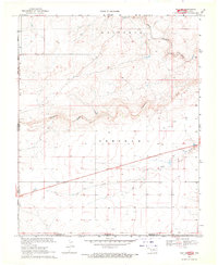
1969 · Felt SW
USGS Topo · 1:24,000
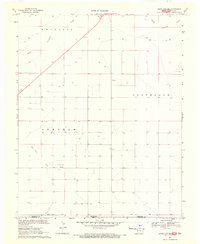
1969 · Boise City SW
USGS Topo · 1:24,000
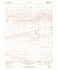
1969 · Felt
USGS Topo · 1:24,000
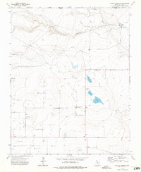
1973 · Buffalo Springs
USGS Topo · 1:24,000
1973 · Tovrea Ranch
USGS Topo · 1:24,000
1973 · Corlena
USGS Topo · 1:24,000
1973 · Perico
USGS Topo · 1:24,000