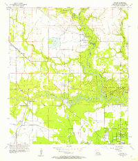
1956 Map of Buhler
USGS Topo · Published 1957About this map
The West Fork Calcasieu River and Houston River dominate this mid-century survey of southwestern Louisiana, revealing a landscape defined by its waterways and transport crossings. Before modern bridges fully unified the region, vital river transit was maintained at Dunn Ferry, Anthony Ferry, and Indian Bayou Ferry. These points reflect an era when river-bound commerce and local travel relied on traditional ferry routes. The Kansas City Southern railroad cuts diagonally through the terrain, serving the small community of Buhler. Public spaces like Sam Houston State Park and Holbrook Park are established along the riverbanks, while rural life is anchored by landmarks such as Mt Carmel Ch and the Willow Spring Sch Cem. In the southeast, the growing settlement of Westlake begins to take shape, supported by the Krause and Managan Canal and nearby industrial infrastructure like the Pumping Station.
Find a feature on this map
26 named features on this map. Tap any name to fly to it.
Don’t see what you’re looking for? This feature index may not catch every label — zoom into the map to look around manually.
Map Details
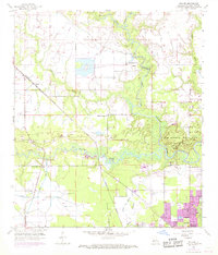
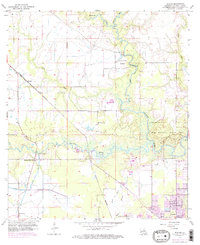
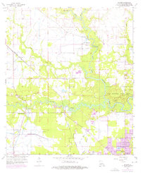
Editions of this 1956 Buhler Map
4 editions found
Other maps of this area

1932 · Lake Charles NW
USGS Topo · 1:31,680

1935 · Buhler
USGS Topo · 1:31,680

1935 · Moss Bluff
USGS Topo · 1:31,680

1935 · Gordon
USGS Topo · 1:31,680

1935 · Gaytine
USGS Topo · 1:31,680

1942 · Lake Charles
USGS Topo · 1:62,500

1947 · Sulphur
USGS Topo · 1:31,680

1947 · Gaytine
USGS Topo · 1:31,680

1947 · Moss Bluff
USGS Topo · 1:31,680

1947 · DeQuincy
USGS Topo · 1:31,680