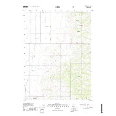
2020 Map of Buist
USGS Topo · Published 2020About this map
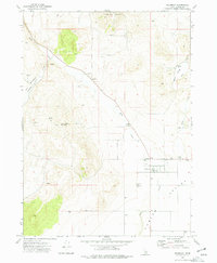
The high desert landscape of Oneida County is anchored by Buist, a local point of reference situated where the expansive Pleasantview Hills meet the drainage of Deep Cr. This 2020 survey illustrates the transition from the relatively level agricultural and grazing lands at the northern end of the Curlew National Grassland into a complex network of canyons and passes. Water remains the critical defining factor for land use here, marked by the presence of Pettit Spring and Taylor Spring in the central hills. The eastern portion of the map is dominated by the steep topography of Sublette Canyon and the South Fork Sublette Canyon, which dictate the paths of local travel through landmarks like Jensen Pass. This modern topographic study shows how contemporary roads like N Arbon Valley Rd and Basin Rd still follow the natural contours of the high basins.
Find a feature on this map
26 named features on this map. Tap any name to fly to it.
Don’t see what you’re looking for? This feature index may not catch every label — zoom into the map to look around manually.
Map Details
Editions of this 2020 Buist Map
This is the sole edition of this map. No revisions or reprints were ever made.
Other maps of this area

1954 · Pocatello
USGS Topo · 1:250,000

1958 · Pocatello
USGS Topo · 1:250,000

1963 · Daniels
USGS Topo · 1:24,000

1968 · Ireland Springs
USGS Topo · 1:24,000

1968 · Daniels
USGS Topo · 1:24,000

1968 · Dairy Creek
USGS Topo · 1:24,000
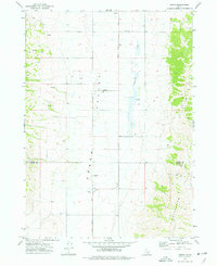
1973 · Arbon
USGS Topo · 1:24,000
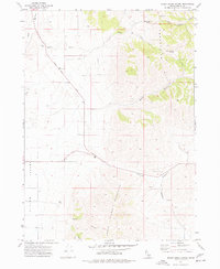
1973 · Sheep Creek Spring
USGS Topo · 1:24,000
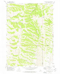
1973 · Deep Creek Peak
USGS Topo · 1:24,000
1973 · Holbrook
USGS Topo · 1:24,000