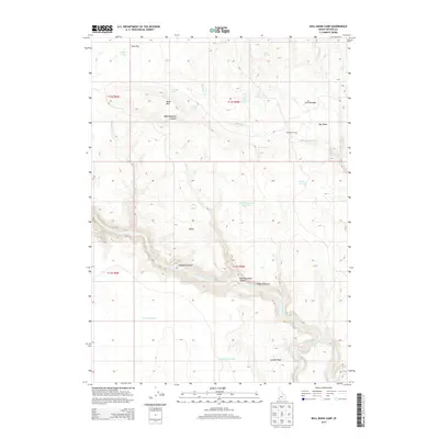
2013 Map of Bull Basin Camp
USGS Topo · Published 2013About this map
Owyhee Canyon and its namesake Owyhee River dominate this high-desert landscape in southwestern Idaho, cutting a deep path through the plateau. This 2013 survey reveals a territory defined by seasonal water and cattle-rearing history, with land improvements like Wilson Pasture and Cow Meadow clustered around critical water sources. Named landmarks like Bull Basin Camp and the settlement at Dukes reflect the human footprint in this remote rangeland.
Find a feature on this map
31 named features on this map. Tap any name to fly to it.
Don’t see what you’re looking for? This feature index may not catch every label — zoom into the map to look around manually.
Map Details
Editions of this 2013 Bull Basin Camp Map
This is the sole edition of this map. No revisions or reprints were ever made.
Other maps of this area

1955 · Jordan Valley
USGS Topo · 1:250,000

1957 · Jordan Valley
USGS Topo · 1:250,000

1958 · Jordan Valley
USGS Topo · 1:250,000

1973 · Red Basin
USGS Topo · 1:24,000

1973 · Smith Creek
USGS Topo · 1:24,000

1973 · Bedstead Ridge
USGS Topo · 1:24,000

1973 · Grassy Ridge
USGS Topo · 1:24,000

1973 · Spring Creek Basin
USGS Topo · 1:24,000
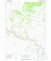
1977 · Bull Basin Camp
USGS Topo · 1:24,000
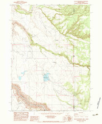
1982 · Deacon Crossing
USGS Topo · 1:24,000