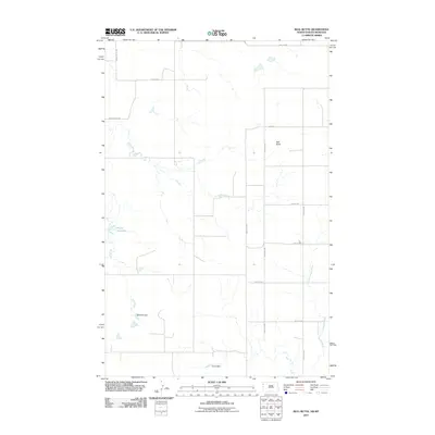
2011 Map of Bull Butte
USGS Topo · Published 2011About this map
Bull Butte rises as a prominent landmark in this segment of the High Plains, overlooking a landscape defined by ranch roads and managed water resources. The terrain is intricately carved by Sand Creek and Little Muddy Creek, which provide the primary drainage for the surrounding prairie. Human impact on the land is most visible through the presence of several water management structures, including Picard Reservoir, Band Aid Dam, and Horab Dam. These features, alongside a grid of rural routes such as Snake Butte Rd and Lamar Rd, illustrate the reliance on irrigation and livestock watering in this agricultural region. The map preserves the layout of section lines and the local transportation network, serving as a record of the rural infrastructure in Williams County during the early twenty-first century.
Find a feature on this map
17 named features on this map. Tap any name to fly to it.
Don’t see what you’re looking for? This feature index may not catch every label — zoom into the map to look around manually.
Map Details
Editions of this 2011 Bull Butte Map
This is the sole edition of this map. No revisions or reprints were ever made.
Other maps of this area

1948 · Sunnyhill School
USGS Topo · 1:24,000

1949 · Sunnyhill School
USGS Topo · 1:24,000

1953 · Williston
USGS Topo · 1:250,000

1954 · Wolf Point
USGS Topo · 1:250,000

1957 · Williston
USGS Topo · 1:250,000

1958 · Wolf Point
USGS Topo · 1:250,000

1974 · Brush Mountain
USGS Topo · 1:24,000

1974 · West Bonetraill
USGS Topo · 1:24,000

1974 · Red Bank Creek
USGS Topo · 1:24,000

1974 · Bonetraill SW
USGS Topo · 1:24,000