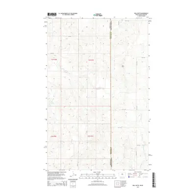
2014 Map of Bull Butte
USGS Topo · Published 2014About this map
The high plateau of Bull Butte dominates the center of this northern prairie landscape along the border of Roosevelt County, Montana, and Williams County, North Dakota. This portion of the northern Great Plains exhibits a sparse settlement pattern defined by a rigid section-line road grid, including Lamar Rd and E N Froid Rd. Water is a critical feature in this semi-arid environment, with the small Picard Reservoir and intermittent drainages like Sand Cr and Little Muddy Cr cutting through the topography. The map illustrates the intersection of state lines and public land survey systems, showing the transition between t30n r58e and t30n r59e, providing a clear view of the rural infrastructure in the early 21st century.
Find a feature on this map
20 named features on this map. Tap any name to fly to it.
Don’t see what you’re looking for? This feature index may not catch every label — zoom into the map to look around manually.
Map Details
Editions of this 2014 Bull Butte Map
This is the sole edition of this map. No revisions or reprints were ever made.
Other maps of this area

1948 · Sunnyhill School
USGS Topo · 1:24,000

1949 · Sunnyhill School
USGS Topo · 1:24,000

1953 · Williston
USGS Topo · 1:250,000

1954 · Wolf Point
USGS Topo · 1:250,000

1957 · Williston
USGS Topo · 1:250,000

1958 · Wolf Point
USGS Topo · 1:250,000

1974 · Brush Mountain
USGS Topo · 1:24,000

1974 · West Bonetraill
USGS Topo · 1:24,000

1974 · Red Bank Creek
USGS Topo · 1:24,000

1974 · Bonetraill SW
USGS Topo · 1:24,000