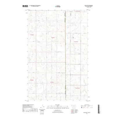
2017 Map of Bull Butte
USGS Topo · Published 2017About this map
Bull Butte stands as the central topographic landmark on this high-plains landscape where the Montana-North Dakota state line divides the territory between Roosevelt and Williams counties. The drainage patterns are defined by the winding course of Little Muddy Creek in the southeast and the seasonal flows of Sand Creek and Saint Creek to the west. A network of rural section-line roads, such as RD 1000 and RD 2049, facilitates movement across the township-and-range grid, while Picard Reservoir provides a localized water source in the western reaches. This 2017 survey reflects the modern agricultural and energy-driven layout of the Williston Basin, preserving the names of local infrastructure like County Highway 68 and various township roads that serve as the backbone of this borderland region.
Find a feature on this map
34 named features on this map. Tap any name to fly to it.
Don’t see what you’re looking for? This feature index may not catch every label — zoom into the map to look around manually.
Map Details
Editions of this 2017 Bull Butte Map
This is the sole edition of this map. No revisions or reprints were ever made.
Other maps of this area

1948 · Sunnyhill School
USGS Topo · 1:24,000

1949 · Sunnyhill School
USGS Topo · 1:24,000

1953 · Williston
USGS Topo · 1:250,000

1954 · Wolf Point
USGS Topo · 1:250,000

1957 · Williston
USGS Topo · 1:250,000

1958 · Wolf Point
USGS Topo · 1:250,000

1974 · Brush Mountain
USGS Topo · 1:24,000

1974 · West Bonetraill
USGS Topo · 1:24,000

1974 · Red Bank Creek
USGS Topo · 1:24,000

1974 · Bonetraill SW
USGS Topo · 1:24,000