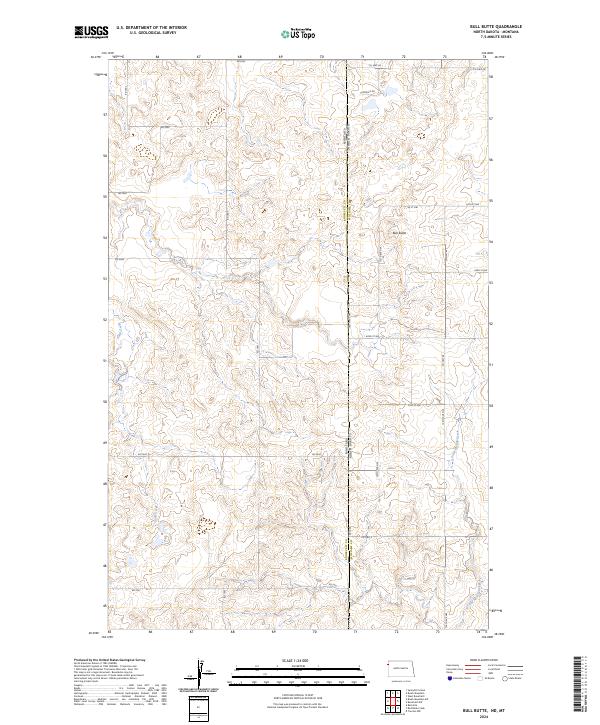
2024 Map of Bull Butte
USGS Topo · Published 2024About this map
Bull Butte stands as a prominent elevation in this remote landscape, straddling the border between North Dakota and Montana. This contemporary survey details a sparsely populated ranching and agricultural region where Williams County, North Dakota, meets Roosevelt County, Montana. The terrain is defined by the winding paths of Sand Creek in the west and Little Muddy Creek in the east, which carve through the high plains. A rigid network of section-line roads, such as Co Hwy 68 and Co Hwy 6, underscores the enduring influence of the Public Land Survey System on the modern geography of the northern Great Plains. These routes connect isolated farmsteads across townships like t156n r104w, following the contours of a land that remains largely open and undeveloped.
Find a feature on this map
33 named features on this map. Tap any name to fly to it.
Don’t see what you’re looking for? This feature index may not catch every label — zoom into the map to look around manually.
Map Details
Editions of this 2024 Bull Butte Map
This is the sole edition of this map. No revisions or reprints were ever made.
Other maps of this area

1948 · Sunnyhill School
USGS Topo · 1:24,000

1949 · Sunnyhill School
USGS Topo · 1:24,000

1953 · Williston
USGS Topo · 1:250,000

1954 · Wolf Point
USGS Topo · 1:250,000

1957 · Williston
USGS Topo · 1:250,000

1958 · Wolf Point
USGS Topo · 1:250,000

1974 · Brush Mountain
USGS Topo · 1:24,000

1974 · West Bonetraill
USGS Topo · 1:24,000

1974 · Red Bank Creek
USGS Topo · 1:24,000

1974 · Bonetraill SW
USGS Topo · 1:24,000