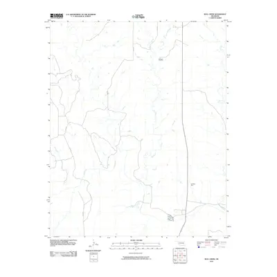
2010 Map of Bull Creek
USGS Topo · Published 2010About this map
Bull Creek and Elm Creek define this rural landscape in western Oklahoma, where the terrain is marked by a complex network of drainage basins and winding section line roads. In this sparsely populated region, the Vannerson Cemetery stands as a quiet focal point for local genealogical interest, while the presence of the Art Kane Dam to the southeast indicates the importance of water management in this prairie environment. The map details a strictly grid-based transportation network, with routes like N1710 Rd and D1890 Rd crossing the landscape to serve the isolated farmsteads and ranching operations that characterize the area. In the eastern portion of the quadrangle, the headwaters of Fish Creek branch out, further illustrating the intricate hydrology of the Red River watershed.
Find a feature on this map
11 named features on this map. Tap any name to fly to it.
Don’t see what you’re looking for? This feature index may not catch every label — zoom into the map to look around manually.
Map Details
Editions of this 2010 Bull Creek Map
This is the sole edition of this map. No revisions or reprints were ever made.
Other maps of this area

1954 · Amarillo
USGS Topo · 1:250,000

1954 · Plainview
USGS Topo · 1:250,000

1955 · Lawton
USGS Topo · 1:250,000

1955 · Clinton
USGS Topo · 1:250,000

1957 · Clinton
USGS Topo · 1:250,000

1958 · Amarillo
USGS Topo · 1:250,000

1958 · Plainview
USGS Topo · 1:250,000

1959 · Shinnery Creek
USGS Topo · 1:24,000

1961 · Erick
USGS Topo · 1:62,500

1963 · Fulller
USGS Topo · 1:24,000