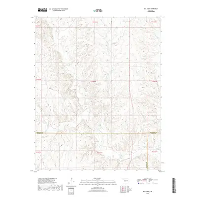
2018 Map of Bull Creek
USGS Topo · Published 2018About this map
Vannerson Cem serves as a quiet local landmark in this prairie landscape of Western Oklahoma, where the terrain is deeply etched by a network of seasonal drainages. The map captures a unique junction of geopolitical boundaries where Beckham, Harmon, and Greer counties converge. This 2018 survey documents a rural environment dominated by a grid of section-line roads like n1710 RD and d1690 RD, which navigate the broken ground surrounding Bull Cr and its tributaries. While modern in date, the presence of isolated cemeteries and the persistence of traditional creek names like Fish Cr and Elm Cr provide essential data points for local historians tracking the agricultural and family heritage of this corner of the state.
Find a feature on this map
14 named features on this map. Tap any name to fly to it.
Don’t see what you’re looking for? This feature index may not catch every label — zoom into the map to look around manually.
Map Details
Editions of this 2018 Bull Creek Map
This is the sole edition of this map. No revisions or reprints were ever made.
Other maps of this area

1954 · Amarillo
USGS Topo · 1:250,000

1954 · Plainview
USGS Topo · 1:250,000

1955 · Lawton
USGS Topo · 1:250,000

1955 · Clinton
USGS Topo · 1:250,000

1957 · Clinton
USGS Topo · 1:250,000

1958 · Amarillo
USGS Topo · 1:250,000

1958 · Plainview
USGS Topo · 1:250,000

1959 · Shinnery Creek
USGS Topo · 1:24,000

1961 · Erick
USGS Topo · 1:62,500

1963 · Fulller
USGS Topo · 1:24,000