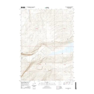
2015 Map of Bull Lake West
USGS Topo · Published 2015About this map
Bull Lake dominates the central landscape of this Fremont County quadrangle, where the waters of Bull Lake Creek flow through a dramatic elevation drop marked by Bull Lake Falls. The terrain is defined by high-altitude ridgelines including Cedar Ridge and Bull Ridge, which flank the northern and southern reaches of the lake. In the northeastern corner, the Ocean Lake Habitat Reservoir Number 5 represents a managed water resource situated near Washakie Point. The drainage patterns are clearly delineated by numerous smaller waterways such as Middle Fork Sage Cr and Spring Cr. This survey illustrates a sparsely settled region focused on natural features and water management, with landmarks like Sheep Bridge and Sand Point providing specific points of reference for navigating the varied topography and draws.
Find a feature on this map
19 named features on this map. Tap any name to fly to it.
Don’t see what you’re looking for? This feature index may not catch every label — zoom into the map to look around manually.
Map Details
Editions of this 2015 Bull Lake West Map
This is the sole edition of this map. No revisions or reprints were ever made.
Other maps of this area

1951 · Bull Lake East
USGS Topo · 1:24,000

1952 · Wise Flat
USGS Topo · 1:24,000

1952 · Crowheart Butte
USGS Topo · 1:24,000

1952 · Bull Lake West
USGS Topo · 1:24,000

1952 · Crowheart
USGS Topo · 1:24,000

1952 · Burris
USGS Topo · 1:24,000

1952 · Kirkland Park
USGS Topo · 1:24,000

1952 · Paradise Basin
USGS Topo · 1:24,000

1952 · St. Lawrence Basin
USGS Topo · 1:24,000

1955 · Thermopolis
USGS Topo · 1:250,000