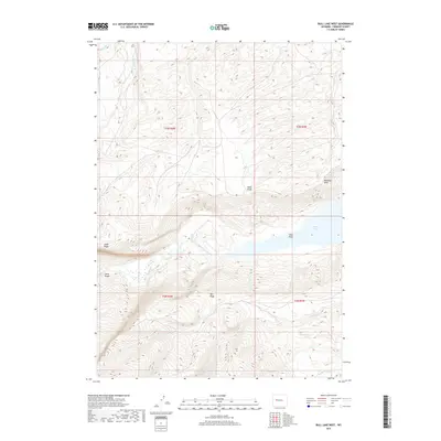
2017 Map of Bull Lake West
USGS Topo · Published 2017About this map
Bull Lake dominates the eastern edge of this landscape, its shoreline marked by Sand Point and the high vantage of Washakie Point. The drainage patterns here define the terrain, with Bull Lake Creek flowing through the central valley and featuring the distinct Bull Lake Falls. To the south, the water network expands through Middle Fork Sage Cr and N Fork Sage Cr, illustrating the complex hydrology of this part of Fremont County.
Find a feature on this map
18 named features on this map. Tap any name to fly to it.
Don’t see what you’re looking for? This feature index may not catch every label — zoom into the map to look around manually.
Map Details
Editions of this 2017 Bull Lake West Map
This is the sole edition of this map. No revisions or reprints were ever made.
Other maps of this area

1951 · Bull Lake East
USGS Topo · 1:24,000

1952 · Wise Flat
USGS Topo · 1:24,000

1952 · Crowheart Butte
USGS Topo · 1:24,000

1952 · Bull Lake West
USGS Topo · 1:24,000

1952 · Crowheart
USGS Topo · 1:24,000

1952 · Burris
USGS Topo · 1:24,000

1952 · Kirkland Park
USGS Topo · 1:24,000

1952 · Paradise Basin
USGS Topo · 1:24,000

1952 · St. Lawrence Basin
USGS Topo · 1:24,000

1955 · Thermopolis
USGS Topo · 1:250,000