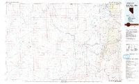
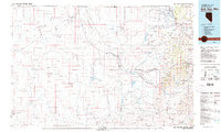
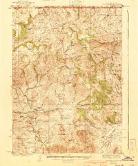
1982 Map of Bull Run Mts
USGS Topo · Published 1982About this map
Tuscarora and the northern reaches of Elko County are defined by a high-desert landscape of extensive mining operations and remote water management. In the early 1980s, the region's industrial character was centered around the Bull Run Mountains and the Humboldt National Forest, where a dense cluster of historical mining sites includes the Edgemont Mine, Bull Run Mine, and Riddle Mine. These operations sit in contrast to the northern Duck Valley Indian Reservation, which borders the Idaho state line and the settlement of Owyhee.
Find a feature on this map
60 named features on this map. Tap any name to fly to it.
Don’t see what you’re looking for? This feature index may not catch every label — zoom into the map to look around manually.
Map Details
Editions of this 1982 Bull Run Mts Map
2 editions found
Other maps of this area

1882 · Paradise
USGS Topo · 1:250,000

1893 · Paradise
USGS Topo · 1:250,000
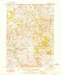
1936 · Mountain City
USGS Topo · 1:62,500
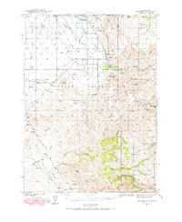
1939 · Owyhee
USGS Topo · 1:62,500
1940 · Mountain City
USGS Topo · 1:62,500
1942 · Owyhee
USGS Topo · 1:62,500

1955 · McDermitt
USGS Topo · 1:250,000

1955 · Jordan Valley
USGS Topo · 1:250,000

1955 · Twin Falls
USGS Topo · 1:250,000

1955 · Wells
USGS Topo · 1:250,000