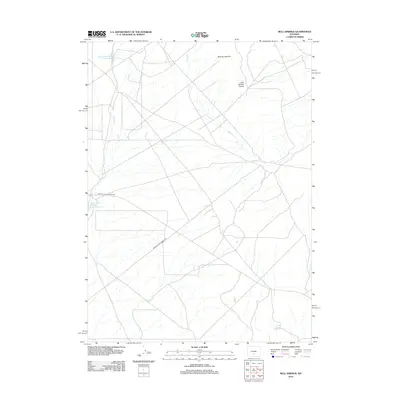
2012 Map of Bull Springs
USGS Topo · Published 2012About this map
Upper Water Stewart Creek Reservoir and Lower Water Stewart Creek Reservoir anchor this high-desert landscape in Sweetwater County. The terrain is defined by the significant topographic break at Bull Springs Rim and the hydrologic separation provided by Lost Soldier Divide. This environment, marked by seasonal watercourses like Stewart Cr and Bulls Cr, reflects the resource-focused infrastructure of the early 21st century. The path of Minerals Exploration Rd cutting through the center suggests the area's ongoing importance for geologic study and energy development. Scattered water sources, including the namesake Bull Springs and Coyote Spring, provide the few reliable landmarks in an otherwise open and undeveloped territory within the Wyoming interior.
Find a feature on this map
9 named features on this map. Tap any name to fly to it.
Don’t see what you’re looking for? This feature index may not catch every label — zoom into the map to look around manually.
Map Details
Editions of this 2012 Bull Springs Map
This is the sole edition of this map. No revisions or reprints were ever made.
Other maps of this area

1954 · Rawlins
USGS Topo · 1:250,000

1955 · Casper
USGS Topo · 1:250,000

1956 · Rawlins Peak
USGS Topo · 1:62,500

1958 · Rawlins
USGS Topo · 1:250,000

1958 · Casper
USGS Topo · 1:250,000

1960 · Larsen Knoll
USGS Topo · 1:24,000

1960 · Separation Rim
USGS Topo · 1:24,000

1960 · Bull Springs
USGS Topo · 1:24,000

1960 · Buck Draw
USGS Topo · 1:24,000

1960 · Chicken Spring
USGS Topo · 1:24,000