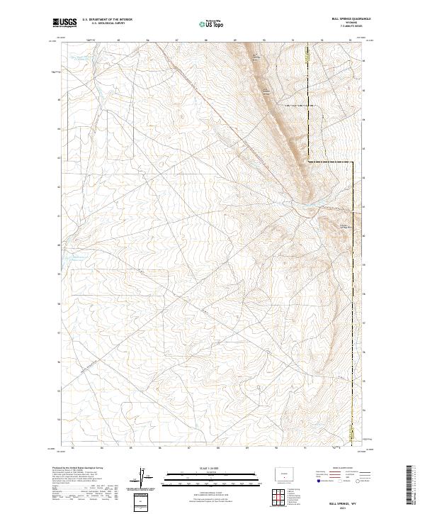
2021 Map of Bull Springs
USGS Topo · Published 2021About this map
The Continental Divide National Scenic Trl snakes across this high-desert terrain on the border of Sweetwater and Carbon counties. This landscape is defined by its water management and resource extraction, anchored by the Upper Water Stewart Cr Reservoir and Lower Water Stewart Cr Reservoir. Significant elevation changes are marked by the Bull Springs Rim and Coyote Springs Rim, which frame the drainage basins of Stewart Cr and Bulls Cr. The presence of Minerals Exploration Rd and various survey markers suggests a region historically valued for its geological potential. Navigational points such as the Lost Soldier Divide highlight the area's importance as a natural passage through the high plains, while isolated features like Coyote Spring remain vital landmarks in this arid environment.
Find a feature on this map
17 named features on this map. Tap any name to fly to it.
Don’t see what you’re looking for? This feature index may not catch every label — zoom into the map to look around manually.
Map Details
Editions of this 2021 Bull Springs Map
This is the sole edition of this map. No revisions or reprints were ever made.
Other maps of this area

1954 · Rawlins
USGS Topo · 1:250,000

1955 · Casper
USGS Topo · 1:250,000

1956 · Rawlins Peak
USGS Topo · 1:62,500

1958 · Rawlins
USGS Topo · 1:250,000

1958 · Casper
USGS Topo · 1:250,000

1960 · Larsen Knoll
USGS Topo · 1:24,000

1960 · Separation Rim
USGS Topo · 1:24,000

1960 · Bull Springs
USGS Topo · 1:24,000

1960 · Buck Draw
USGS Topo · 1:24,000

1960 · Chicken Spring
USGS Topo · 1:24,000