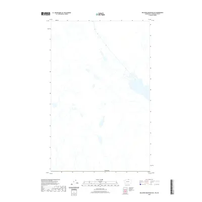
2020 Map of Bullfrog Mountain OE N
USGS Topo · Published 2020About this map
The international border with Canada defines the southern reach of this topographic study, where the landscape is dominated by a complex network of unnamed drainage systems and northern water bodies. Situated in a remote region of British Columbia, the map illustrates the rugged northern terrain before it crosses the boundary into the United States. While no specific settlements or man-made landmarks are named on this particular sheet, the intricate hydrography reveals a vast watershed of tributaries and expansive shorelines that shape the local geography north of the border. The data provided by the U.S. Geological Survey highlights the physical relief and natural drainage patterns of this borderland area during the early twenty-first century.
Find a feature on this map
1 named feature on this map. Tap any name to fly to it.
Don’t see what you’re looking for? This feature index may not catch every label — zoom into the map to look around manually.
Map Details
Editions of this 2020 Bullfrog Mountain OE N Map
This is the sole edition of this map. No revisions or reprints were ever made.
Other maps of this area

1902 · Osoyoos
USGS Topo · 1:125,000

1904 · Osoyoos
USGS Topo · 1:125,000

1906 · Chopaka
USGS Topo · 1:125,000

1954 · Okanogan
USGS Topo · 1:250,000

1956 · Loomis
USGS Topo · 1:62,500

1957 · Oroville
USGS Topo · 1:62,500

1958 · Okanogan
USGS Topo · 1:250,000

1975 · Oroville NW
USGS Topo · 1:24,000
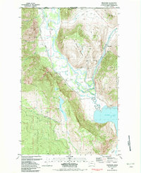
1981 · Nighthawk
USGS Topo · 1:24,000
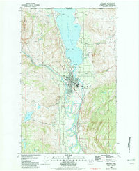
1982 · Oroville
USGS Topo · 1:24,000