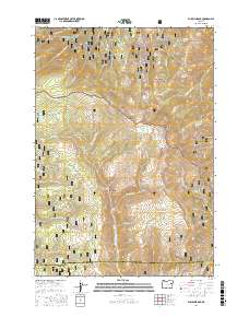
2017 Map of Bullrun Rock
USGS Topo · Published 2017About this map
Bullrun Rock and Monument Rock dominate this high-elevation landscape along the boundary of the Whitman National Forest and Malheur National Forest. The 2017 survey details a remote wilderness divide where the headwaters of the S Fork Burnt River and the Little Malheur River begin their descent. This terrain is defined by its numerous water sources, including the aptly named Smokey Bear Spring, Mine Ridge Spring, and Egg Spring, which have long served as vital points for forest management and local navigation.
Find a feature on this map
55 named features on this map. Tap any name to fly to it.
Don’t see what you’re looking for? This feature index may not catch every label — zoom into the map to look around manually.
Map Details
Editions of this 2017 Bullrun Rock Map
This is the sole edition of this map. No revisions or reprints were ever made.
Other maps of this area

1908 · Ironside Mountain
USGS Topo · 1:125,000

1955 · Canyon City
USGS Topo · 1:250,000

1959 · Canyon City
USGS Topo · 1:250,000

1970 · Flag Prairie
USGS Topo · 1:62,500

1970 · Castle Rock
USGS Topo · 1:62,500
1972 · Unity
USGS Topo · 1:24,000
1972 · Deardorff Mtn
USGS Topo · 1:24,000
1972 · Bullrun Rock
USGS Topo · 1:24,000
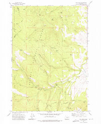
1972 · Rail Gulch
USGS Topo · 1:24,000
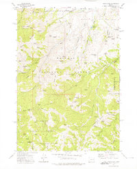
1972 · Rastus Mtn
USGS Topo · 1:24,000