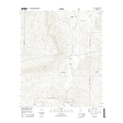
2014 Map of Bulls Gap
USGS Topo · Published 2014About this map
Talladega National Forest encompasses much of this landscape, where the ridges of Horn Mtn and Rebecca Mtn dominate the topography. The area is defined by the winding course of Hatchet Creek and its various forks, creating a network of small drainages that shaped local settlement patterns. Small communities like Roselle and Shady Grove are connected by a web of rural routes, including Horns Valley Rd and Shady Grove Rd.
Find a feature on this map
50 named features on this map. Tap any name to fly to it.
Don’t see what you’re looking for? This feature index may not catch every label — zoom into the map to look around manually.
Map Details
Editions of this 2014 Bulls Gap Map
This is the sole edition of this map. No revisions or reprints were ever made.
Other maps of this area

1890 · Talladega
USGS Topo · 1:125,000

1891 · Ashland
USGS Topo · 1:125,000

1892 · Talladega
USGS Topo · 1:125,000

1943 · Talladega
USGS Topo · 1:62,500

1944 · Goodwater
USGS Topo · 1:62,500

1946 · Talladega
USGS Topo · 1:62,500

1947 · Goodwater
USGS Topo · 1:62,500

1953 · Birmingham
USGS Topo · 1:250,000

1953 · Atlanta
USGS Topo · 1:250,000

1956 · Birmingham
USGS Topo · 1:250,000